Ontario's Historical Plaques
at ontarioplaques.com
Learn a little Ontario history as told through its plaques
The Ferguson Highway
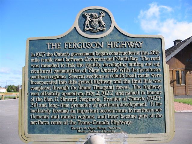
Photo by Alan L Brown - Posted July, 2006
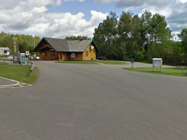
Photo from Google Street View ©2010 Google - Posted October, 2010
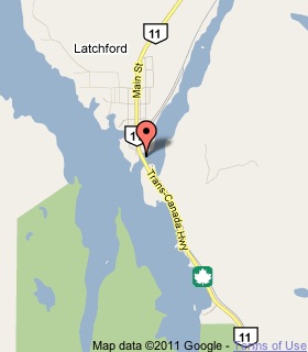
Plaque Location
The District of Timiskaming
The Town of Latchford
In the picnic area just north of the
Montreal River bridge on Highway 11
Coordinates: N 47 19.355 W 79 48.585 |
 |
Plaque Text
In 1925 the Ontario government began construction of this 320 km trunk-road between Cochrane and North Bay. The road was intended to link the rapidly developing mining and agricultural communities of "New Ontario" with the province's southern regions. Several sections of rebuilt local roads were incorporated into the gravel highway and the final link was completed through the dense Temagami forest. The highway was officially opened on July 2, 1927, and named in honour of the Hon. G. Howard Ferguson, Premier of Ontario (1923-30) and long-time promoter of northern development. It immediately became an important access route to northern settlements and tourist regions, and later became part of the northern route of the Trans-Canada Highway.
Related Ontario plaques
Honourable G. Howard Ferguson 1870-1946
The Trans-Canada Highway
More
Information
More
Roads
Here are the visitors' comments for this page.
(none yet)
Here's where you can write a comment for this page.
Note: If you wish to ask me a question, please use the email link in the menu.
Note: Comments are moderated. Yours will appear on this page within 24 hours
(usually much sooner).