Discover Ontario's history as told through its plaques
2004 - Now in our 11th Year - 2015
To see what's new on this site, you can visit the Home Page
Looking at this page on a smartphone?
For best viewing, hold your phone
in Landscape mode (Horizontal)
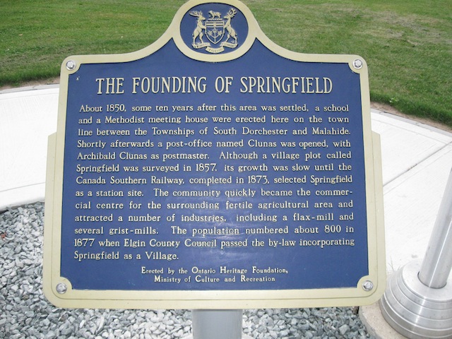
The Founding of Springfield
Photos by contributor Kelly Pearson - Posted May, 2013
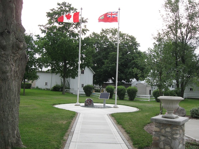
Plaque Location
The County of Elgin
The Township of Malahide
In Springfield, in a park at 51137 Ron McNeil Line (Road 52)
a block west of Whittaker Road
Coordinates: N 42 49.760 W 80 56.204 |
 |
Plaque Text
About 1850, some ten years after this area was settled, a school and a Methodist meeting house were erected here on the town line between the Townships of South Dorchester and Malahide. Shortly afterwards a post-office named Clunas was opened, with Archibald Clunas as postmaster. Although a village plot called Springfield was surveyed in 1857, its growth was slow until the Canada Southern Railway, completed in 1873, selected Springfield as a station site. The community quickly became the commercial centre for the surrounding fertile agricultural area and attracted a number of industries, including a flax-mill and several grist-mills. The population numbered about 800 in 1877 when Elgin County Council passed the by-law incorporating Springfield as a Village.
More
Information
More
Settlements
Here are the visitors' comments for this page.
(none yet)
Here's where you can sent me a comment for this page.
Note: If your comment includes a question, it's best to include your email address in your comment so others can respond to you.
Note: Comments are moderated. Yours will appear on this page within 24 hours (usually much sooner).
Note: As soon as I have posted your comment, a reply to your email will be sent informing you.
To send me your comment, click .
Thanks
Alan L Brown
Webmaster
Note: If you wish to send me a personal email, click .