Here's where you can learn a little Ontario history
Founding of Arthur
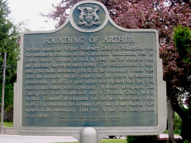
Photo by Alan L Brown - June, 2004
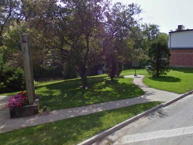
Photo from Google Street View ©2011 Google - January, 2011
Plaque Location
The County of Wellington
The Township of Wellington North
In Arthur, on the southwest corner of
George and Francis Streets one block north of Road 109
Coordinates: N 43 49.753 W 80 32.019 |
 |
Plaque Text
Arthur, named for Arthur Wellesley, Duke of Wellington, was the southern terminus of the Garafraxa "colonization road" to Owen Sound. Settlers arrived in 1840 but the townsite was not officially surveyed until 1846. The establishment of saw and grist mills hastened growth in the community which was also the natural market centre for the area's agricultural production. In 1851 a post office was opened and the first church and school were organized. A weekly newspaper, the Enterprise, was established and a Divisional Court met at Arthur. Economic development was further encouraged when, in 1872, a station of the Toronto, Grey and Bruce Railway was opened in the community. That year, Arthur was incorporated as a village.
Related Ontario plaque page
Toronto, Grey and Bruce Railway
More
Information
More
Settlements
Here are the comments for this page.
(none yet)
Here's where you can write a comment for this page.
Note: If you wish to ask me a question, please use the email link in the menu.
Note: Comments are moderated. Yours will appear on this page within 24 hours
(usually much sooner).