Ontario's Historical Plaques
at ontarioplaques.com
Learn a little Ontario history as told through its plaques
Point Frederick
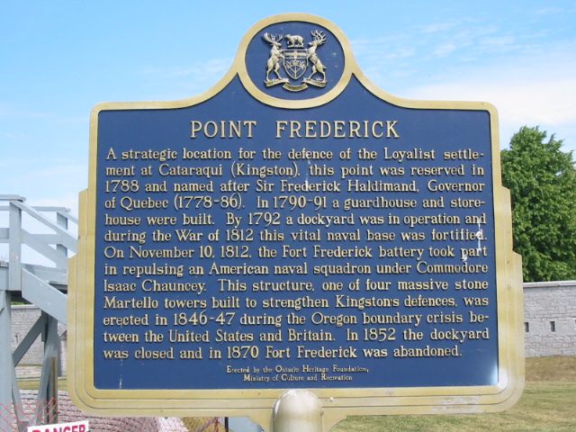
Photo by Alan L Brown - Posted June, 2005
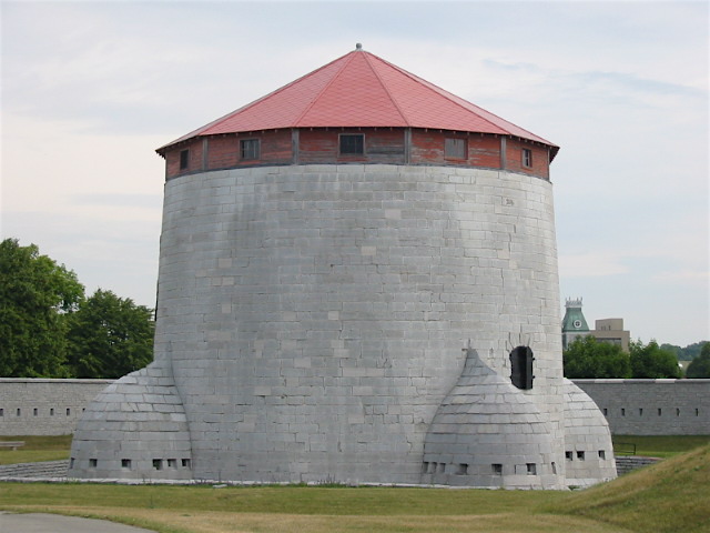
Photo by Alan L Brown - Posted July, 2007
Plaque Location
The County of Frontenac
The City of Kingston
Inside the walls of the tower,
on the grounds of the Royal Military College of Canada
Coordinates: N 44 13.666 W 76 28.166 |
 |
Plaque Text
A strategic location for the defence of the Loyalist settlement at Cataraqui (Kingston), this point was reserved in 1788 and named after Sir Frederick Haldimand, Governor of Quebec (1778-86). In 1790-91 a guardhouse and storehouse were built. By 1792 a dockyard was in operation and during the War of 1812 this vital naval base was fortified. On November 10, 1812, the Fort Frederick battery took part in repulsing an American naval squadron under Commodore Isaac Chauncey. This structure, one of four massive stone Martello towers built to strengthen Kingston's defences, was erected in 1846-47 during the Oregon boundary crisis between the United States and Britain. In 1852 the dockyard was closed and in 1870 Fort Frederick was abandoned.
Related Ontario plaques
Murney Martello Tower
Point Frederick Buildings
More
Information
More
The Military
More
War of 1812
Here are the visitors' comments for this page.
(none yet)
Here's where you can write a comment for this page.
Note: If you wish to ask me a question, please use the email link in the menu.
Note: Comments are moderated. Yours will appear on this page within 24 hours
(usually much sooner).
Note: As soon as the comment is posted, a link to it will appear on the home page in the section "Here are the 10 latest plaque pages with a new comment added by a visitor to this site."