Ontario's Historical Plaques
at ontarioplaques.com
Learn a little Ontario history as told through its plaques
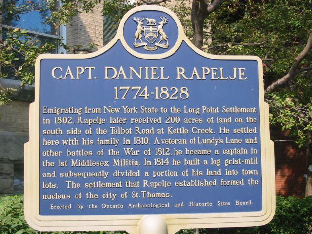
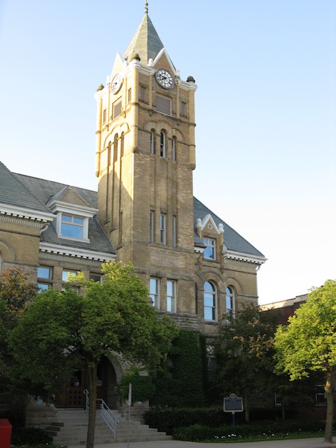
Captain Daniel Rapelje 1774-1828

Photo by Alan L Brown - Posted August, 2004

Photo by contributor Wayne Adam - Posted October, 2010
Plaque Location
The County of Elgin
The City of St. Thomas
On the northeast corner of Talbot Street and Mondamin Street
Coordinates: N 42 46.738 W 81 11.557 |
 |
|
Plaque Text
Emigrating from New York State to the Long Point Settlement in 1802, Rapelje later received 80 ha of land on the south side of the Talbot Road at Kettle Creek. He settled here with his family in 1810. A veteran of Lundy's Lane and other battles of the War of 1812, he became a captain in the 1st Middlesex Militia. In 1814 he built a log grist-mill and subsequently divided a portion of his land into town lots. The settlement that Rapelje established formed the nucleus of the city of St. Thomas.
Related Ontario plaques
The Long Point Settlement
Talbot Road
Battle of Lundy's Lane
St. Thomas' Church 1824
More
Information
More
Settlers
Here are the visitors' comments for this page.
Posted July 12, 2011
His wife was Elizabeth Vandervoort, and children were George, Elsie, Aletta Lent, Catherine, Lambert, Geronimus, Margaret, John, Daniel Barclay, Elizabeth Jane. He is my great-great grandfather.
Posted October 27, 2010
i think one of his sons' nmane was daniel . daniel the son was the first person to be buried in the old cemetry on walnut st. St. Thomas Ont. t.
Posted October 26, 2010
Hey do you guys know what the name of his wife and 3 childeren were? Anonomys
Here's where you can write a comment for this page.
Note: If you wish to ask me a question, please use the email link in the menu.
Note: Comments are moderated. Yours will appear on this page within 24 hours
(usually much sooner).