Discover Ontario's history as told through its plaques
2004 - Now in our 11th Year - 2015
To see what's new on this site, you can visit the Home Page
Steep Rock Iron Range
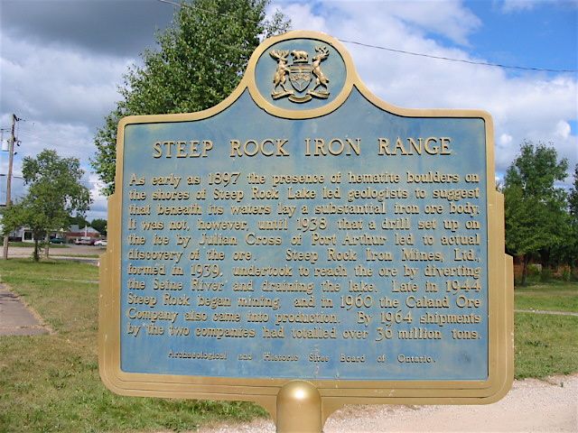
Photo by Alan L Brown - Posted July, 2006
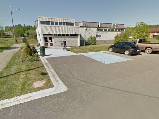
Photo from Google Street View ©2014 Google - Posted January, 2014
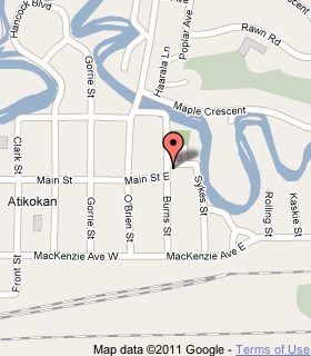
Plaque Location
The District of Rainy River
The Township of Atikokan
In Atikokan, at the entrance to Atikokan Public Library
behind the Centennial Museum, Burns and Main streets
Coordinates: N 48 45.468 W 91 37.208 |
 |
Plaque Text
As early as 1897 the presence of hematite boulders on the shores of Steep Rock Lake led geologists to suggest that beneath its waters lay a substantial iron ore body. It was not, however, until 1938 that a drill set up on the ice by Julian Cross of Port Arthur led to actual discovery of the ore. Steep Rock Iron Mines, Ltd., formed in 1939, undertook to reach the ore by diverting the Seine River and draining the lake. Late in 1944 Steep Rock began mining, and in 1960 the Caland Ore Company also came into production. By 1964 shipments by the two companies had totalled over 33 million tonnes.
More
Information
More
Landforms
More
Atikokan Plaques
Here are the visitors' comments for this page.
(none yet)
Here's where you can sent me a comment for this page.
Note: If your comment includes a question, it's best to include your email address in your comment so others can respond to you.
Note: Comments are moderated. Yours will appear on this page within 24 hours (usually much sooner).
Note: As soon as I have posted your comment, a reply to your email will be sent informing you.
To send me your comment, click .
Thanks
Alan L Brown
Webmaster
Note: If you wish to send me a personal email, click the Email link in the Menu.