Discover Ontario's history as told through its plaques
2004 - Now in our 15th Year - 2019
To find out all about me, you can visit the Home Page
Looking at this page on a smartphone?
For best viewing, hold your phone
in Landscape mode (Horizontal)
Algonquin Provincial Park
Photos by Alan L Brown - Posted July, 2009
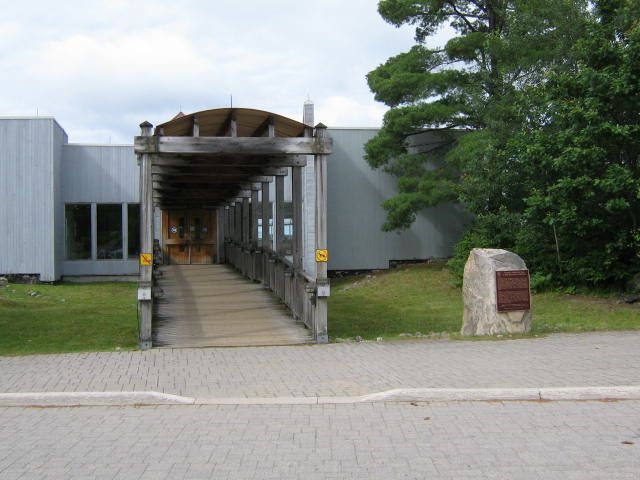
Plaque Location
The District of Nipissing
Algonquin Provincial Park
Outside the Visitor Centre on the south side of Highway 60
about 18 km west of the Madawaska River bridge in Whitney
Coordinates: N 45 35.039 W 78 21.560 |
 |
Plaque Text
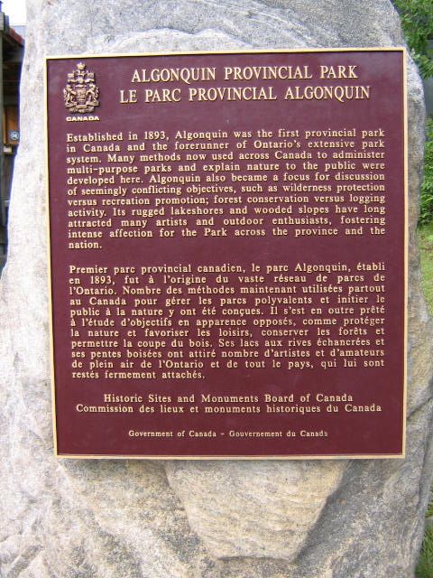
Established in 1893, Algonquin was the first provincial park in Canada and the forerunner of Ontario's extensive park system. Many methods now used across Canada to administer multi-purpose parks and explain nature to the public were developed here. Algonquin also became a focus for discussion of seemingly conflicting objectives, such as wilderness protection versus recreation promotion; forest conservation versus logging activity. Its rugged lakeshores and wooded slopes have long attracted many artists and outdoor enthusiasts, fostering intense affection for the Park across the province and the nation.
Related Ontario plaque
Tom Thomson 1877-1917
More
Information
More
Assorted Places
More
Algonquin Provincial Park Plaques
Here are the visitors' comments for this page.
(none yet)
Here's where you can send me a comment for this page.
Note: Your email address will be posted at the end of your comment so others can respond to you unless you request otherwise.
Note: Comments are moderated. Yours will appear on this page within 24 hours (usually much sooner).
Note: As soon as I have posted your comment, a reply to your email will be sent informing you.
To send me your comment, click .
Thanks
Alan L Brown
Webmaster
Note: If you wish to send me a personal email, click .