Discover Ontario's history as told through its plaques
2004 - Now in our 15th Year - 2019
To find out all about me, you can visit the Home Page
Looking at this page on a smartphone?
For best viewing, hold your phone
in Landscape mode (Horizontal)
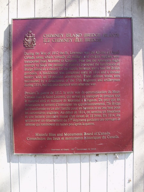
Chimney Island (Bridge Island)
Photos by contributors David & Kellie Clifford - Posted June, 2009
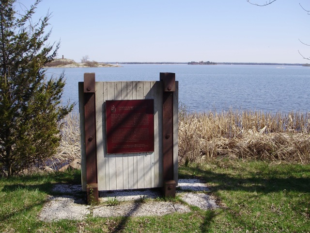
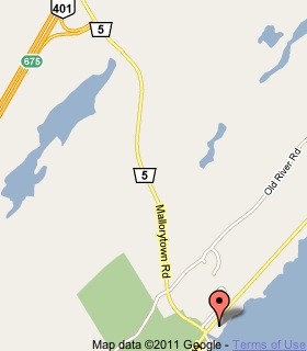
Plaque Location
The United Counties of Leeds & Grenville
The Township of Front of Yonge
On the Thousand Islands Parkway
2.3 km east of Mallorytown Road (Road 5)
opposite the island
Coordinates: N 44 28.194 W 75 50.386 |
 |
Plaque Text
During the War of 1812 the St. Lawrence was the life-line of Upper Canada along which virtually all military and civilian supplies were transported from Montreal to Kingston. Fear that the Americans might attempt to block the passage of material prompted the fortification of Bridge Island as a shelter for the supply batteaux and a base for British gunboats. A blockhouse was completed early in 1814 and a circular battery with an 18-pounder constructed. These defence works were maintained by a detachment of the 57th Regiment and artillerymen during 1814, but fell into disrepair soon after the war.
More
War of 1812
Here are the visitors' comments for this page.
(none yet)
Here's where you can send me a comment for this page.
Note: Your email address will be posted at the end of your comment so others can respond to you unless you request otherwise.
Note: Comments are moderated. Yours will appear on this page within 24 hours (usually much sooner).
Note: As soon as I have posted your comment, a reply to your email will be sent informing you.
To send me your comment, click .
Thanks
Alan L Brown
Webmaster
Note: If you wish to send me a personal email, click .