Discover Ontario's history as told through its plaques
2004 - Now in our 15th Year - 2019
To find out all about me, you can visit the Home Page
Looking at this page on a smartphone?
For best viewing, hold your phone
in Landscape mode (Horizontal)
Perth Military Settlement 1816

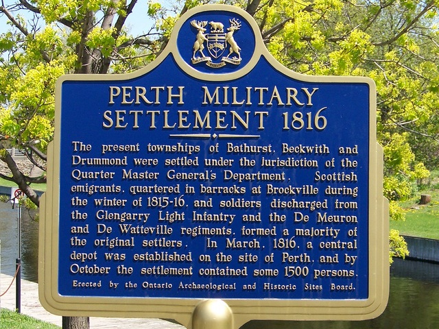
Photo by contributor William Stewart - Posted May, 2008

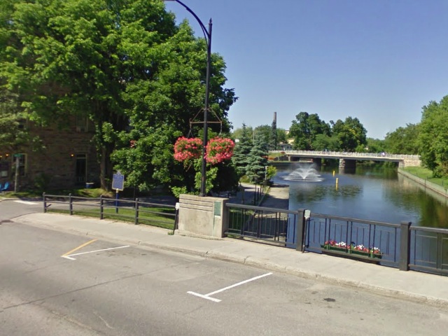
Photo from Google Street View ©2011 Google - Posted June, 2011
Plaque Location
The County of Lanark
The Town of Perth
In a little parkette on the north side of Gore Street East
on the west side of the Tay River Bridge
[Note: The first photo above shows the plaque in its old location. The Google Street View and the map coordinates and the map below show it in its current location. I'd like to thank Rick Mason for letting me know about the location change.]
Coordinates: N 44 53.927 W 76 14.877 |
 |
Plaque Text
The present townships of Bathurst, Beckwith and Drummond were settled under the jurisdiction of the Quarter Master General's Department. Scottish emigrants, quartered in barracks at Brockville during the winter of 1815-16, and soldiers discharged from the Glengarry Light Infantry and the De Meuron and De Watteville regiments formed a majority of the original settlers. In March 1816, a central depot was established on the site of Perth, and by October the settlement contained some 1500 persons.
More
Settlements
More
Perth Plaques
Here are the visitors' comments for this page.
(none yet)
Here's where you can send me a comment for this page.
Note: Your email address will be posted at the end of your comment so others can respond to you unless you request otherwise.
Note: Comments are moderated. Yours will appear on this page within 24 hours (usually much sooner).
Note: As soon as I have posted your comment, a reply to your email will be sent informing you.
To send me your comment, click .
Thanks
Alan L Brown
Webmaster
Note: If you wish to send me a personal email, click .