Discover Ontario's history as told through its plaques
2004 - Now in our 12th Year - 2016
To see what's new on this site, you can visit the Home Page
Looking at this page on a smartphone?
For best viewing, hold your phone
in Landscape mode (Horizontal)
Grand Bend
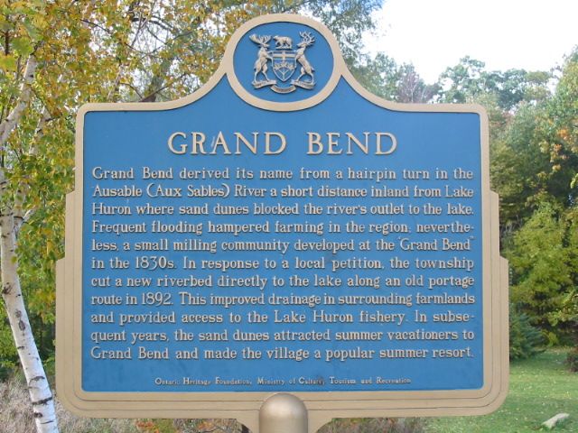
Photo by Alan L Brown - Posted September, 2004
Photo from Google Street View ©2015 Google - Posted February, 2015
Plaque Location
The County of Lambton
The Municipality of Lambton Shores
In Grand Bend, at the intersection of
River Road and Alberta Street
2 blocks west of Ontario Street South (Highway 21)
Coordinates: N 43 18.705 W 81 45.660 |
 |
Plaque Text
Grand Bend derived its name from a hairpin turn in the Ausable (Aux Sables) River a short distance inland from Lake Huron where sand dunes blocked the river's outlet to the lake. Frequent flooding hampered farming in the region; never-the-less, a small milling community developed at the "Grand Bend" in the 1830's. In response to a local petition, the township cut a new riverbed directly to the lake along an old portage route in 1892. This improved drainage in surrounding farmland and provided access to the Lake Huron fishery. In subsequent years, the sand dunes attracted summer vacationers to Grand Bend and made the village a popular summer resort.
More
Information
More
Settlements
Here are the visitors' comments for this page.
(none yet)
Here's where you can sent me a comment for this page.
Note: Your email address will be posted at the end of your comment so others can respond to you unless you request otherwise.
Note: Comments are moderated. Yours will appear on this page within 24 hours (usually much sooner).
Note: As soon as I have posted your comment, a reply to your email will be sent informing you.
To send me your comment, click .
Thanks
Alan L Brown
Webmaster
Note: If you wish to send me a personal email, click .