Discover Ontario's history as told through its plaques
2004 - Now in our 12th Year - 2016
To see what's new on this site, you can visit the Home Page
Looking at this page on a smartphone?
For best viewing, hold your phone
in Landscape mode (Horizontal)
The Founding of Forest
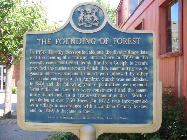
Photo by Alan L Brown - Posted September, 2004
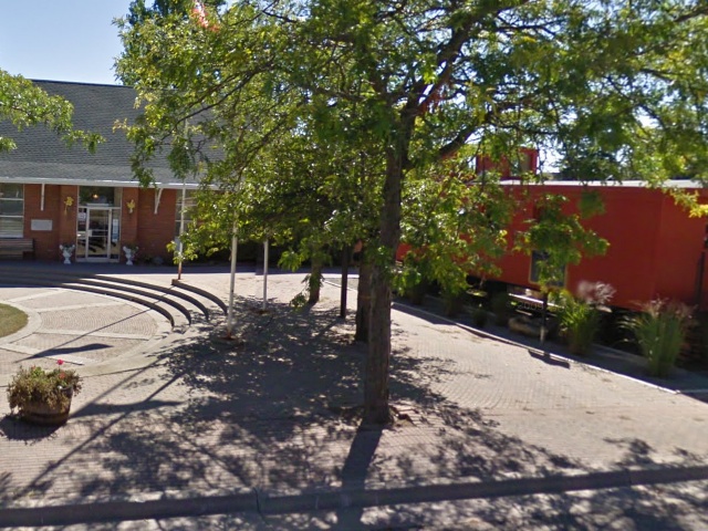
Photo from Google Street View ©2010 Google - Posted December, 2010
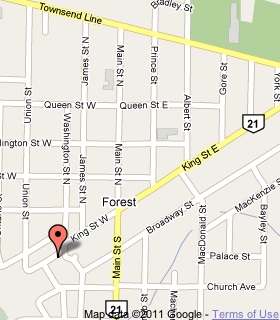
Plaque Location
The County of Lambton
The Municipality of Lambton Shores
In Forest, at the Station Library on the southwest corner of
King Street West and Washington Street North
Coordinates: N 43 05.760 W 82 00.185 |
 |
Plaque Text
In 1858 Timothy Resseguie laid out the first village lots and the opening of a railway station here in 1859 on the recently completed Grand Trunk line from Guelph to Sarnia provided the nucleus around which this community grew. A general store was opened and it was followed by other commercial enterprises. An Anglican church was established in 1861 and the following year a post office was opened. Grist-mills and sawmills were constructed and the community flourished as a trans-shipment centre. With a population of over 750, Forest, in 1872, was incorporated as a village in accordance with a Lambton County by-law, and in 1889 it became a town.
More
Information
More
Settlements
Here are the visitors' comments for this page.
(none yet)
Here's where you can sent me a comment for this page.
Note: Your email address will be posted at the end of your comment so others can respond to you unless you request otherwise.
Note: Comments are moderated. Yours will appear on this page within 24 hours (usually much sooner).
Note: As soon as I have posted your comment, a reply to your email will be sent informing you.
To send me your comment, click .
Thanks
Alan L Brown
Webmaster
Note: If you wish to send me a personal email, click .