Discover Ontario's history as told through its plaques
2004 - Now in our 15th Year - 2019
To find out all about me, you can visit the Home Page
Looking at this page on a smartphone?
For best viewing, hold your phone
in Landscape mode (Horizontal)
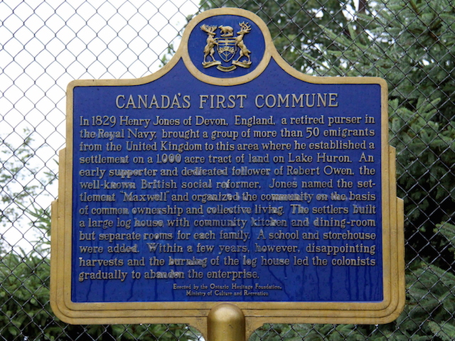
Canada's First Commune
Photos by contributor Roger Taguchi - Posted August, 2014
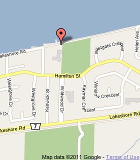
Plaque Location
The County of Lambton
The City of Sarnia
At the back fence behind Bright's Grove Public School
on Hamilton Road across from Wildwood Drive
a block north of Lakeshore Road (Road 7)
Coordinates: N 43 01.902 W 82 15.785 |
 |
Plaque Text
In 1829 Henry Jones of Devon, England, a retired purser in the Royal Navy, brought a group of more than 50 emigrants from the United Kingdom to this area where he established a settlement on a 400 ha tract of land on Lake Huron. An early supporter and dedicated follower of Robert Owen, the well-known British social reformer, Jones named the settlement "Maxwell" and organized the community on the basis of common ownership and collective living. The settlers built a large log house with the community kitchen, and dining room but separate rooms for each family. A school and storehouse were added. Within a few years, however, disappointing harvests and the burning of the log house led the colonists gradually to abandon the enterprise.
More
Assorted Events
More
Sarnia Plaques
Here are the visitors' comments for this page.
(none yet)
Here's where you can send me a comment for this page.
Note: Your email address will be posted at the end of your comment so others can respond to you unless you request otherwise.
Note: Comments are moderated. Yours will appear on this page within 24 hours (usually much sooner).
Note: As soon as I have posted your comment, a reply to your email will be sent informing you.
To send me your comment, click .
Thanks
Alan L Brown
Webmaster
Note: If you wish to send me a personal email, click .