Discover Ontario's history as told through its plaques
2004 - Now in our 14th Year - 2018
To see what's new on this site, you can visit the Home Page
Looking at this page on a smartphone?
For best viewing, hold your phone
in Landscape mode (Horizontal)
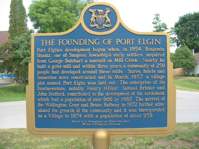
The Founding of Port Elgin

Photo by Alan L Brown - Posted June, 2005

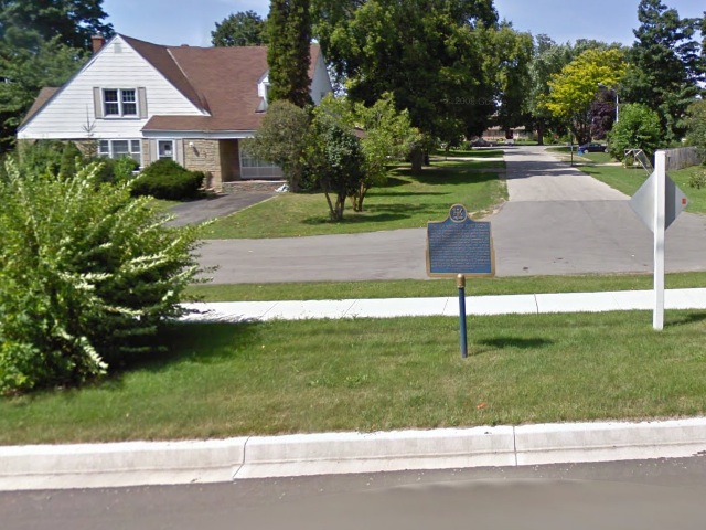
Photo from Google Street View ©2011 Google - Posted January, 2011
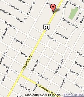
Plaque Location
The County of Bruce
The Town of Saugeen Shores
In Port Elgin, on the west side of Goderich Street (Road 21)
almost 6 blocks north of Gustavus Street
Coordinates: N 44 26.522 W 81 23.068 |
 |
Plaque Text
Port Elgin's development began when, in 1854, Benjamin Shantz, one of Saugeen Township's early settlers, acquired from George Butchart a sawmill on Mill Creek. Nearby he built a grist-mill and within three years a community of 250 people had developed around these mills. Stores, hotels and tanneries were constructed and in March, 1857, a village plot named Port Elgin was laid out. The enterprise of its businessmen, notably Henry Hilker, Samuel Bricker and John Stafford, contributed to the development of the settlement, which had a population of over 600 by 1867. The arrival of the Wellington, Grey and Bruce Railway in 1872 further stimulated the growth of the community and it was incorporated as a Village in 1874 with a population of about 950.
More
Information
More
Settlements
Here are the visitors' comments for this page.
(none yet)
Here's where you can send me a comment for this page.
Note: Your email address will be posted at the end of your comment so others can respond to you unless you request otherwise.
Note: Comments are moderated. Yours will appear on this page within 24 hours (usually much sooner).
Note: As soon as I have posted your comment, a reply to your email will be sent informing you.
To send me your comment, click .
Thanks
Alan L Brown
Webmaster
Note: If you wish to send me a personal email, click .