Ontario's Historical Plaques
at ontarioplaques.com
Learn a little Ontario history as told through its plaques
"Barberton"

Photo by Alan L Brown - Posted April, 2004

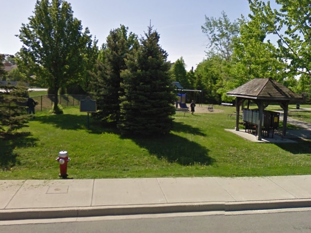
Photo from Google Street View ©2010 Google - Posted December, 2010
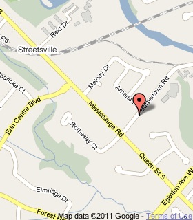
Plaque Location
The Region of Peel
The City of Mississauga
In Barbertown Park on the south side of Barbertown Street
just east of Mississauga Road, two blocks north of Eglinton Avenue
Coordinates: N 43 34.316 W 79 41.898 |
 |
Plaque Text
At a bend in the Credit River, just east of here, a mill site was developed in 1826. William and Robert Barber purchased the property in 1844 and constructed the Toronto Woollen Mills, one of the largest textile mills in Canada West (Ontario). Known as Barberton, the complex grew to some forty buildings, including a dye house, a general store, sawmill, and smithy. Ownership passed from the Barber family in 1882. Early in the First World War, the four-storey stone mill was converted to flour production. Other remanents of Barberton are William Barber's home across the street and workers' cottages on the other side of the river.
More
Settlements
Here are the visitors' comments for this page.
(none yet)
Here's where you can write a comment for this page.
Note: If you wish to ask me a question, please use the email link in the menu.
Note: Comments are moderated. Yours will appear on this page within 24 hours
(usually much sooner).