Ontario's Historical Plaques
at ontarioplaques.com
Learn a little Ontario history as told through its plaques
Sainte-Marie II
Photos by contributor Colin Old - Posted December, 2008
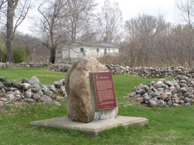
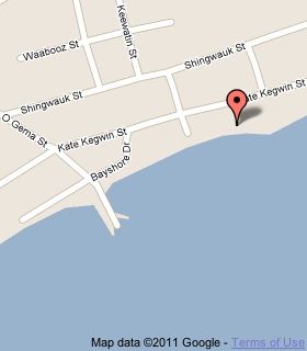
Plaque Location
The County of Simcoe
Christian Island Indian Reserve 30
On Christian Island, on the south side of Kate Kegwin Street
.7 km east of the ferry dock
Coordinates: N 44 49.342 W 80 10.089 |
 |
Plaque Text
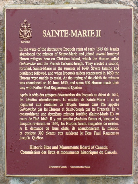
In the wake of the destructive Iroquois raids of early 1649 the Jesuits abandoned the mission of Sainte-Marie and joined several hundred Huron refugees here on Christian Island, which the Hurons called Gahoendoe and the French Ile-Saint-Joseph. They erected a second, fortified, Sainte-Marie in the summer of 1649. Severe famine and pestilence followed, and when Iroquois raiders reappeared in 1650 the Hurons were unable to resist. At the urging of the chiefs the mission was abandoned on 10 June 1650, and some 300 Hurons made their way with Father Paul Ragueneau to Quebéc.
Related Ontario plaques
Sainte-Marie Among the Hurons (1639-1649)
Saint-Louis
Gateway to Huronia
More
Information
More
Disasters
Here are the visitors' comments for this page.
Posted July 13, 2012
It's so old. Love the rocks.
Here's where you can write a comment for this page.
Note: If you wish to ask me a question, please use the email link in the menu.
Note: Comments are moderated. Yours will appear on this page within 24 hours
(usually much sooner).
Note: As soon as the comment is posted, a link to it will appear on the home page in the section "Here are the 10 latest plaque pages with a new comment added by a visitor to this site."