Discover Ontario's history as told through its plaques
2004 - Now in our 13th Year - 2017
To see what's new on this site, you can visit the Home Page
Looking at this page on a smartphone?
For best viewing, hold your phone
in Landscape mode (Horizontal)
The Founding of Sudbury
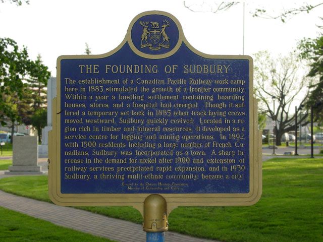
Photo by contributor Kal Biro - Posted June, 2004
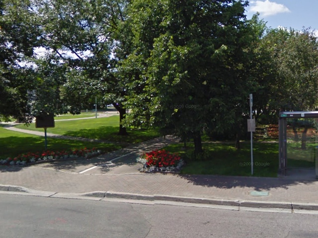
Photo from Google Street View ©2010 Google - Posted October, 2010
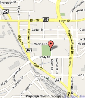
Plaque Location
The City of Greater Sudbury
In Memorial Park on Minto Street
between Bradley Street and Medina Lane
Coordinates: N 46 29.411 W 80 59.523 |
 |
Plaque Text
The establishment of a Canadian Pacific Railway work camp here in 1883 stimulated the growth of a frontier community. Within a year a bustling settlement containing boarding houses, stores, and a hospital had emerged. Though it suffered a temporary set-back in 1885 when track-laying crews moved westward, Sudbury quickly revived. Located in a region rich in timber and mineral resources, it developed as a service centre for logging and mining operations. In 1892, with 1500 residents including a large number of French Canadians, Sudbury was incorporated as a town. A sharp increase in the demand for nickel after 1900 and extension of railway services precipitated rapid expansion, and in 1930 Sudbury, a thriving multi-ethnic community, became a city.
More
Information
More
Settlements
More
Sudbury Plaques
Here are the visitors' comments for this page.
(none yet)
Here's where you can sent me a comment for this page.
Note: Your email address will be posted at the end of your comment so others can respond to you unless you request otherwise.
Note: Comments are moderated. Yours will appear on this page within 24 hours (usually much sooner).
Note: As soon as I have posted your comment, a reply to your email will be sent informing you.
To send me your comment, click .
Thanks
Alan L Brown
Webmaster
Note: If you wish to send me a personal email, click .