Discover Ontario's history as told through its plaques
2004 - Now in our 15th Year - 2019
To find out all about me, you can visit the Home Page
Looking at this page on a smartphone?
For best viewing, hold your phone
in Landscape mode (Horizontal)
Upper Gap Archaeological Site
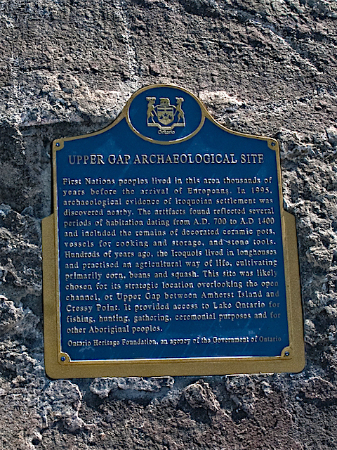
Photo by contributor Chris Howitt - Posted September, 2016
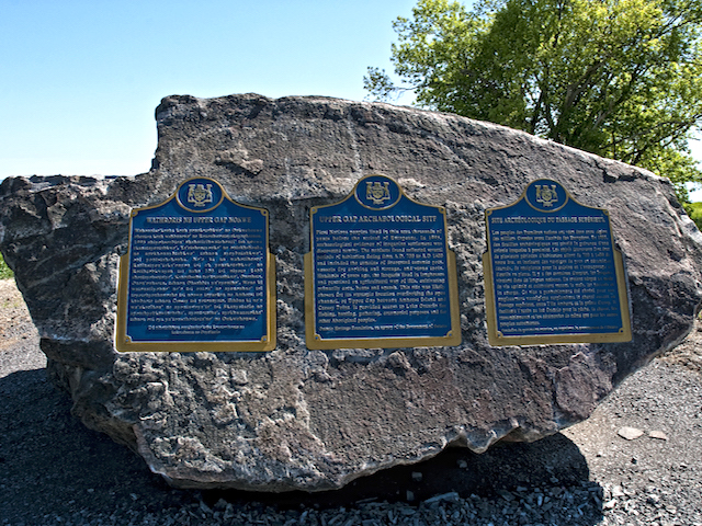
Photo by contributor Chris Howitt - Posted September, 2016
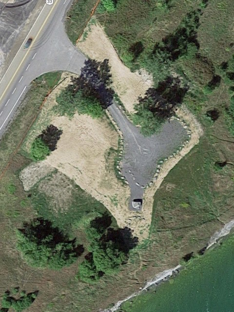
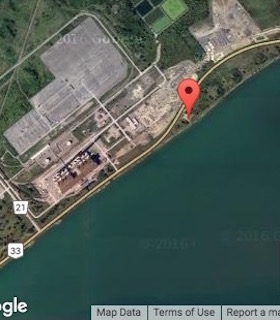
Photo from Google ©2016 Google - Posted September, 2016
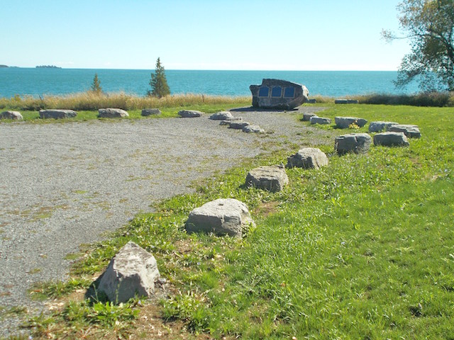
Photo by contributor Wayne Adam - Posted September, 2016
Plaque Location
The County of Prince Edward
In a pull-out on the south side of Road 33 (Loyalist Parkway)
20.5 km east of the Glenora Ferry
600 m east of the entrance road
to the Lennox Generating Station
Coordinates: N 44 08.853 W 76 50.332 |
 |
Plaque Text
(Note: The three plaques have identical text. The left one is in the Iroquois language; the middle one is in English and the right one is in French.)
First Nations peoples lived in this area thousands of years before the arrival of Europeans. In 1995, archaeological evidence of Iroquoian settlement was discovered nearby. The artifacts found reflected several periods of habitation dating from A.D. 700 to A.D. 1400 and included the remains of decorated ceramic pots, vessels for cooking and storage, and stone tools. Hundreds of years ago, the Iroquois lived in longhouses and practised an agricultural way of life, cultivating primarily corn, beans and squash. This site was likely chosen for its strategic location overlooking the open channel or Upper Gap between Amherst Island and Cressy Point. It provided access to Lake Ontario for fishing, hunting, gathering, ceremonial purposes and for other Aboriginal peoples.
Related Ontario plaques
Crawford Lake Indian Village Site
Cummins Site
The Lawson Site
The Nodwell Indian Village Site
Roebuck Indian Village Site
Related Toronto plaques
The Alexandra Site
Indian Village Site
The Jackes Site
Parsons Site
Withrow Archaeological Site
More
Information
More
First Nations
More
Prince Edward County Plaques
Here are the visitors' comments for this page.
> Posted September 27, 2016
These plaques were unveiled in 2003 but not installed at this site until 2015. The delay was caused by changes in land ownership and a construction project nearby. The Napanee Generating Station is still under construction across the road.
-Wayne
Here's where you can send me a comment for this page.
Note: Your email address will be posted at the end of your comment so others can respond to you unless you request otherwise.
Note: Comments are moderated. Yours will appear on this page within 24 hours (usually much sooner).
Note: As soon as I have posted your comment, a reply to your email will be sent informing you.
To send me your comment, click .
Thanks
Alan L Brown
Webmaster
Note: If you wish to send me a personal email, click .