Discover Ontario's history as told through its plaques
2004 - Now in our 12th Year - 2016
To see what's new on this site, you can visit the Home Page
Looking at this page on a smartphone?
For best viewing, hold your phone
in Landscape mode (Horizontal)
Mackenzie's Crossing 1837

Photo by Alan L Brown - Posted August, 2004
Photo by contributor Wayne Adam - Posted April, 2012
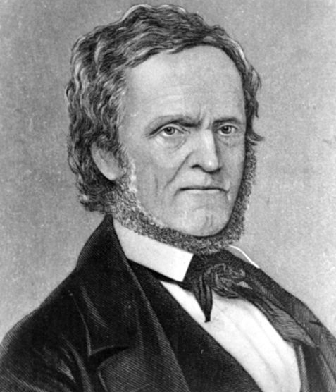
Photo Source - Wikipedia
Plaque Location
The Region of Niagara
The Town of Fort Erie
In a parking area at the intersection
of the Niagara Parkway and Thompson Road
Coordinates: N 42 56.930 W 78 56.706 |
Plaque Text
On Dec. 7, 1837, William Lyon Mackenzie's "Patriot" forces were defeated north of Toronto by Loyalist militia and he fled toward the United States. Travelling little used routes in order to avoid government forces which were scouring the countryside, he reached this vicinity on December 11th. Capt. Samuel McAfee, who owned this property at the time, provided Mackenzie with a boat to cross the Niagara River. While the rebel leader was embarking, James Kerby arrived with a detachment of militia, but the McAfee family distracted his attention until Mackenzie gained the safety of the American shore.
Related Toronto plaque
William Lyon Mackenzie 1795-1861
More
Information
Here are the visitors' comments for this page.
(none yet)
Here's where you can sent me a comment for this page.
Note: Your email address will be posted at the end of your comment so others can respond to you unless you request otherwise.
Note: Comments are moderated. Yours will appear on this page within 24 hours (usually much sooner).
Note: As soon as I have posted your comment, a reply to your email will be sent informing you.
To send me your comment, click .
Thanks
Alan L Brown
Webmaster
Note: If you wish to send me a personal email, click .